
JIS Story Published: 3 July 2019
The National Land Agency (NLA) and Jamaica Defence Force (JDF) have signed a Memorandum of Understanding (MOU) that will facilitate hydrographic surveys of the seabed in the country’s territorial waters.
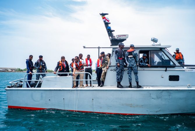
This exercise will be conducted using a vessel from the JDF Coast Guard’s fleet.
The agreement will be executed under the auspices of the National Hydrographic Committee (NHC), which is chaired by Director General of the Maritime Authority of Jamaica (MAJ), Rear Admiral Peter Brady.
Under the MOU, the JDF is providing a vessel for the mounting of hydrographic survey equipment, provided by the United Kingdom Hydrographic Office (UKHO) through the Commonwealth Marine Economics Programme, to facilitate the underwater surveys by the NLA.
Speaking in an interview with JIS News, Acting Senior Director of Surveys at the NLA, Major Patrick Aiken, who indicated that the agency conducts surveys of land above and under water, said the outcome of the exercise being embarked on can be used for numerous activities such as in determining accuracy during a dredging exercise.
“We can use it for the purpose of getting the elevation of the seabed so that dredging can be done to allow deep-hull ships to enter the harbour without being stuck in mud or silt. After the dredging is completed, we would again survey the ocean floor to see that we have achieved the desired depth,” he further outlined.